Travel Guide of Île de Ré in France by Influencers and Travelers
Île de Ré is an island off the west coast of France near La Rochelle, on the northern side of the Pertuis d'Antioche strait. Its highest point has an elevation of 20 metres. It is 30 kilometres long and five kilometres wide.
Download the Travel Map of France on Google Maps here
Pictures and Stories of Île de Ré from Influencers
20 pictures of Île de Ré from Maïm Garnier, Louis Renaudineau, Ben Allan and other travelers
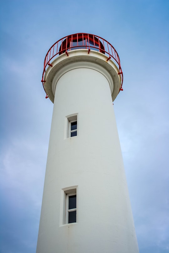
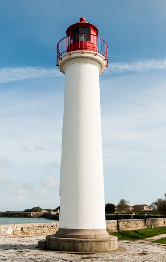
- lighthouse at "ile de ré" ...click to read more
- Experienced by @Louis Renaudineau | ©Unsplash
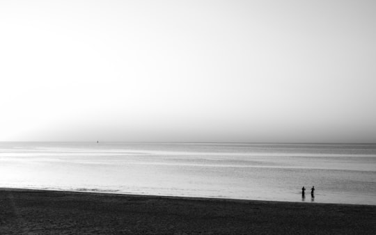
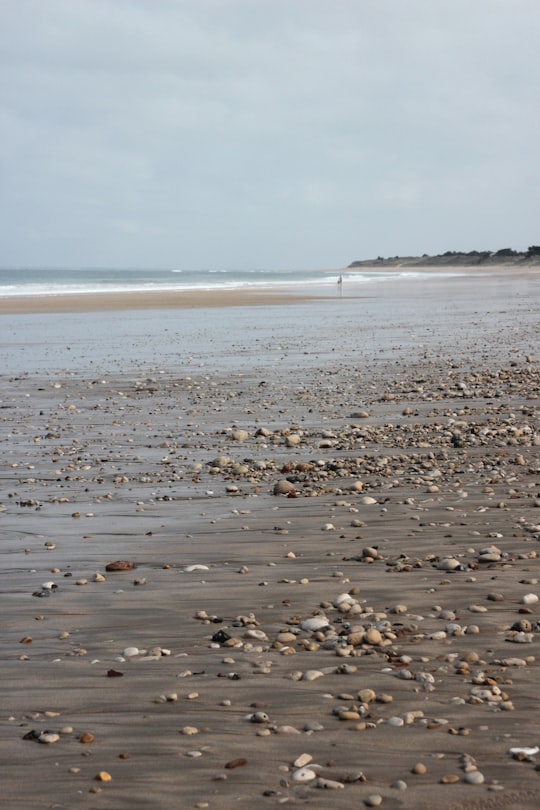
- Two friends fish at sunset, on a beach near Les Portes-en-Ré, Îl de Ré, France. ...click to read more
- Experienced by @Ben Allan | ©Unsplash
- motion blur photo of car showing speed ...click to read more
- Experienced by @Cédric VT | ©Unsplash
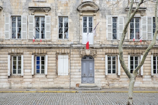
- Town Hall facade with typical architecture in a village of France ...click to read more
- Experienced by @Pierre Jarry | ©Unsplash
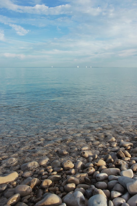
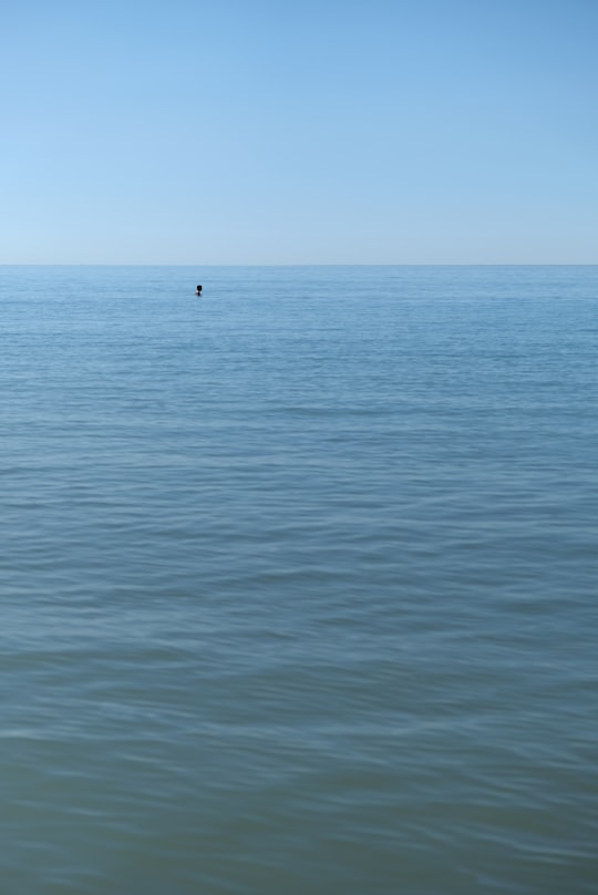
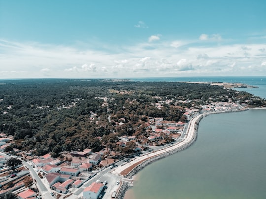
- Les eaux bleues du Perthuis Breton, entourant les plages et rives de l’Ile de Ré. ...click to read more
- Experienced by @Damien DUFOUR Photographie | ©Unsplash
Plan your trip in Île de Ré with AI 🤖 🗺
Roadtrips.ai is a AI powered trip planner that you can use to generate a customized trip itinerary for any destination in France in just one clickJust write your activities preferences, budget and number of days travelling and our artificial intelligence will do the rest for you
👉 Use the AI Trip Planner
How to visit Île de Ré ?
Why traveling there?
The Île de Ré is a picturesque island off the west coast of France, famous for its charming villages, pristine beaches, and beautiful landscapes. Traveling to Île de Ré offers a unique opportunity to experience the laid-back French lifestyle, savor delicious fresh seafood, and explore the island's rich history and natural beauty. This is an ideal destination for a relaxing and rejuvenating holiday.
How to get there?
The Île de Ré is easily accessible from the mainland via a 3km-long bridge that connects it to the city of La Rochelle. The nearest airport is La Rochelle–Île de Ré Airport, which has regular flights from major European cities. From the airport, you can either rent a car or take a taxi to reach the island. Alternatively, you can catch a train to La Rochelle and then take a bus or taxi to the island.
What to book in advance?
It's highly recommended to book your accommodation in advance, especially during the peak season (June to September), as the island gets quite busy. If you are planning to rent a bike, it's also a good idea to reserve it in advance. Bike rentals are a popular way to explore the island, and reserving ahead ensures that you get the best deals and availability.
What are the costs?
The cost of visiting Île de Ré can vary depending on your choice of accommodation, dining, and activities. Mid-range hotels typically cost between €100-€200 per night, while dining at local restaurants can range from €10-€30 per person for a meal. Bike rentals can cost around €10-€20 per day. Overall, the island is considered moderately priced, but it's always possible to find budget-friendly options if you plan ahead.
What are the best things to do?
- Explore the charming villages: Ars-en-Ré, Saint-Martin-de-Ré, and La Flotte are some of the must-visit villages on the island, each boasting its unique charm and character.
- Visit the Phare des Baleines lighthouse: Climb to the top for stunning panoramic views of the island and the Atlantic Ocean.
- Relax on the beaches: Plage de la Conche and Plage des Gollandières are two of the island's most beautiful beaches.
- Cycle around the island: With over 100km of well-maintained cycling paths, Île de Ré is perfect for exploring on two wheels.
Where to eat?
1. La Table d'Olivia: Located in Saint-Martin-de-Ré, this restaurant offers delicious local seafood and regional specialties.
2. L'écailler: This seafood restaurant in Ars-en-Ré is famous for its fresh oysters and other seafood delicacies.
3. Le Bistrot du Marin: Situated in La Flotte, this cozy bistro serves traditional French cuisine with a focus on seafood dishes.
Where to stay?
1. Hôtel Le Galion: A charming hotel in Saint-Martin-de-Ré, offering comfortable rooms and a lovely garden.
2. Le Clos Saint-Martin Hôtel & Spa: A luxurious 4-star hotel in Saint-Martin-de-Ré with a spa and wellness center.
3. La Maison Douce: A beautiful boutique hotel in Saint-Martin-de-Ré, housed in a 19th-century building.
Off the beaten path
For an unusual travel experience, visit the Lilleau des Niges Nature Reserve, a protected area that serves as a refuge for migratory birds. The reserve is located in the western part of the island and offers a unique opportunity to witness the fascinating ecosystem of the salt marshes and observe a variety of bird species. Guided tours are available to help you better understand the importance of this sanctuary and its delicate balance.
Book your Travel Experience at Île de Ré
Discover the best tours and activities around Île de Ré, France and book your travel experience today with our booking partners
Map of Île de Ré
View Île de Ré on a map
Download On Google Maps 🗺️📲
More Travel spots to explore around Île de Ré
Click on the pictures to learn more about the places and to get directions
Discover more travel spots to explore around Île de Ré
🏖️ Beach spots 🌊 Ocean spots 🗼 Landmark spots 🏞️ Waterway spots 🚢 Lighthouse spots ️🏜️ Dune spots 🛣️ Off-roading spots 🏰 Palace spots 🏖️ Shore spots 🏘️ Town spots 🏞️ Lake spots 🌲 Ecoregion spotsLearn More about Île de Ré
In the Bay of Biscay, in the west of France, lies one of the country's most charming islands: the Ile de Ré. Located in Charente-Maritime, off the coast of La Rochelle, this destination reveals many natural treasures to the visitor. Its immense horizons can be admired by bike or on foot between the sand dunes. Its salt marshes, its sunshine and its ten picturesque villages make it a good place to stay in the summer. The water of the Gulf Stream is perfect for swimming. Linked to the mainland by the Pont de Ré, the island is easily accessible by car. Once there, take pleasure in exploring the 85 km² of the peninsula. Drive along the wild coasts, enter the heart of authentic villages, starting with Sainte-Marie-de-Ré or Saint-Martin-de-Ré.
Where to Stay near Île de Ré
Discover the best hotels around Île de Ré, France and book your stay today with our booking partner booking.com
